
Country United States Time zone CST (UTC-6) Elevation 212 m Local time Saturday 4:52 PM | Established May 9, 1853 ZIP codes 60401, 60940, 60954 Area 113.8 km² Population 2,700 (2010) | |
 | ||
Weather 18°C, Wind S at 26 km/h, 41% Humidity | ||
Yellowhead Township is one of seventeen townships in Kankakee County, Illinois, USA. As of the 2010 census, its population was 2,700 and it contained 1,065 housing units. Yellowhead Township derives its name from the Potawatomi warrior, Yellow Head, whose village was located at what is now Yellowhead Point.
Contents
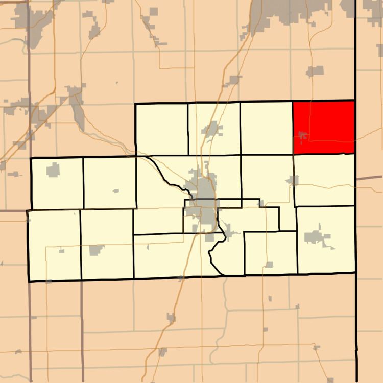
- Map of Yellowhead Township IL USA
- Geography
- Cities towns villages
- Unincorporated towns
- Extinct towns
- Adjacent townships
- Cemeteries
- Major highways
- Airports and landing strips
- Government
- Political districts
- School districts
- References
Map of Yellowhead Township, IL, USA
Geography
According to the 2010 census, the township has a total area of 43.93 square miles (113.8 km2), of which 43.9 square miles (114 km2) (or 99.93%) is land and 0.03 square miles (0.078 km2) (or 0.07%) is water.
Cities, towns, villages
Unincorporated towns
(This list is based on USGS data and may include former settlements.)
Extinct towns
(These towns are listed as "historical" by the USGS.)
Adjacent townships
Cemeteries
The township contains these three cemeteries: Saint Paul Lutheran, Scherburnville Christian and Union Corner.
Major highways
Airports and landing strips
Government
The township is governed by an elected Town Board of a supervisor and four trustees. The township also has an elected assessor, clerk, highway commissioner and supervisor. The township office is located at 7090 North Bull Creek Road, Grant Park, IL 60940.