Population 515 (2011 census) LGA(s) Shire of Yarra Ranges Federal Division(s) McEwen Postal code 3139 | Postcode(s) 3139 State electorate(s) EildonMonbulk Local time Sunday 6:14 AM | |
 | ||
Weather 17°C, Wind N at 18 km/h, 66% Humidity | ||
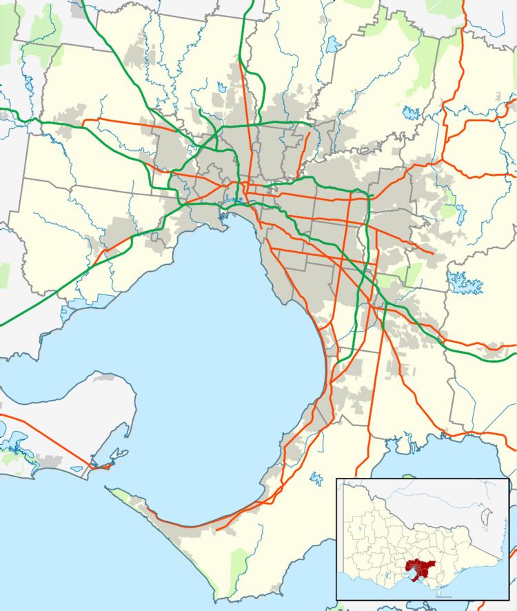
Yellingbo is a town in Victoria, Australia, 48 km east from Melbourne's central business district. Its local government area is the Shire of Yarra Ranges. At the 2011 census, Yellingbo had a population of 515.
Contents
Map of Yellingbo VIC 3139, Australia
History
The town formed around a store opened by James Claxton in 1883 next to Woori Yallock Creek, and was initially known as "Claxton". When Claxton died his brother-in-law Henry Parslow and nephew Christopher John Parslow continued to run the store, and built a bridge over the Yarra River there, whence the town was known as "Parslow's Bridge". The post office opened a receiving office around 1902 as "Parslow's" and a full post office in 1927 with Christopher Parslow as postmaster. In August 1946 it was renamed "Yellingbo" after the last Aboriginal resident. The post office was closed on 23 February 1991.
The town today
Yellingbo's town area contains a public hall, CFA, general store, primary school and tennis courts, as well as the Waterfall Art Gallery.
Biodiversity
Nearby is the Yellingbo Nature Conservation Reserve, which contains three of the state of Victoria's emblems: The last remaining wild population of the state bird, the helmeted honeyeater (Lichenostomus melanops cassidix). The geographically isolated state animal, Leadbeater's possum (Gymnobelideus leadbeateri). Finally, common-pink heath (Epacris impressa) is the state floral emblem.
