Population 609 (2011 census) LGA(s) Shire of Yarra Ranges Hoddles Creek Noojee Postal code 3139 | Postcode(s) 3139 Elevation 212 m Local time Monday 4:14 PM | |
 | ||
Weather 28°C, Wind S at 21 km/h, 44% Humidity | ||
Hoddles Creek is a bounded rural locality near Melbourne in Victoria, Australia. Its local government area is the Shire of Yarra Ranges. At the 2011 census, Hoddles Creek had a population of 609, compared to 1,061 at the 2006 census over a larger area.
Contents
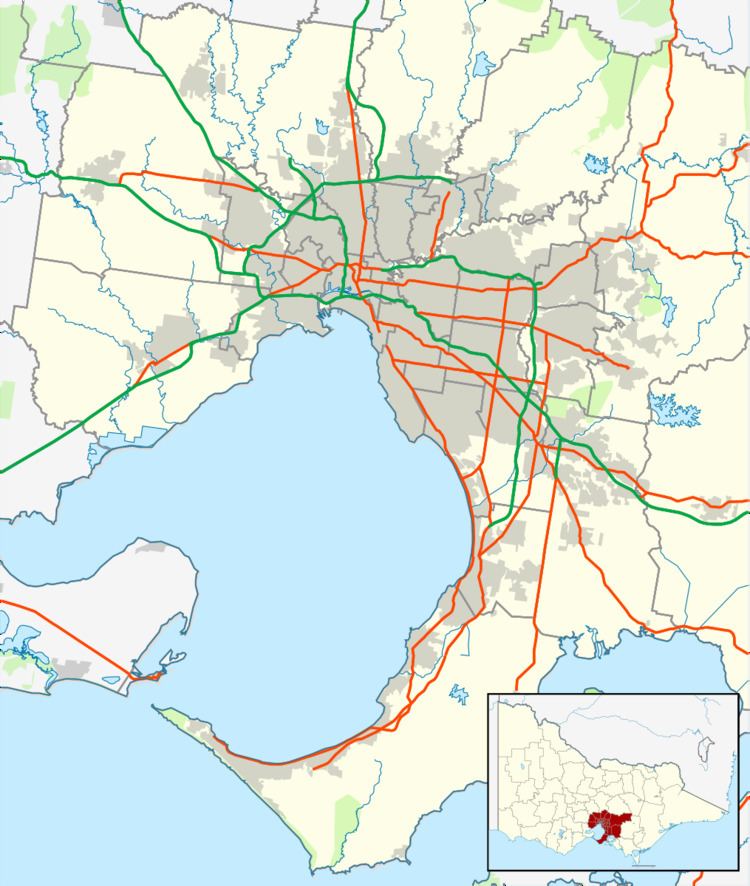
Map of Hoddles Creek VIC 3139, Australia
Location
Hoddles Creek is situated 72 km east of Melbourne's central business district. It stands on the banks of the Hoddles Creek, which was named after Robert Hoddle. Blackleather Creek also flows through the town.
History
Hobbles Creek was named for Robert Hoddle (1794–1881), who surveyed the area in 1844. The town developed thanks to the Victorian Gold Rush in the 1860s. It was home to one of the largest minefields in Victoria up until the 1900s.
The Post Office opened as Hoddle's Creek on 24 May 1862 and closed 1865. It reopened in 1869 (though known as Warburton from 1874 until 1879) and closed in 1967.
In 1916, the Hoddles Creek Primary School was founded to replace other local schools.
Sir Harrie Massey, the renowned mathematical physicist, spent his early years from 1908 in Hoddles Creek.
It is home to several vineyards. For example, the Hoddles Creek Estate was founded by the D'Anna family in 1997. The town is also home to berry farms and tree farms.
