
Mouth Bass Strait Mouth elevation 0 | ||
 | ||
- location Cape Conran Coastal Park | ||
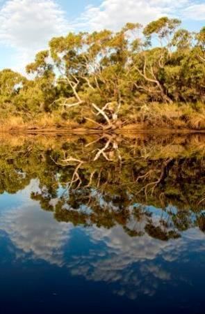
Australia yeerung river kayak
The Yeerung River is a perennial river located in the East Gippsland region of the Australian state of Victoria.
Contents
Map of Yeerung River, Victoria, Australia
Course and features
Formed by the confluence of the Yeerung River West Branch and the Yeerung River East Branch, the Yeerung River rises in the Cape Conran Coastal Park, and flows generally south before reaching its mouth with Bass Strait, east of Cape Conran in the Shire of East Gippsland. The river descends 36 metres (118 ft) over its 3-kilometre (1.9 mi) course.
The west branch of the river rises near the locality of Bellbird Creek at the junction of the Princes Highway and Sydneham Inlet Road, with a southerly course of 12 kilometres (7.5 mi); while the east branch of the river rises west of the Sydneham Inlet Road, with a south westerly course of 11 kilometres (6.8 mi).
The Yeerung River sub-catchment area is managed by the East Gippsland Catchment Management Authority.