
Area 135.7 km² Population 11,446 (2005) | Local time Monday 6:55 AM | |
 | ||
Time zone Central Standard Time (UTC-6) Weather 21°C, Wind S at 5 km/h, 76% Humidity | ||
Yecuatla is a municipality located in the north zone in the State of Veracruz, about 40 km from state capital Xalapa. It has a surface of 135.72 km2. It is located at 19°52′N 96°47′W. The name comes from the language Náhuatl, Yec-uauh-tlan; that means “Place of three snakes ".
Contents
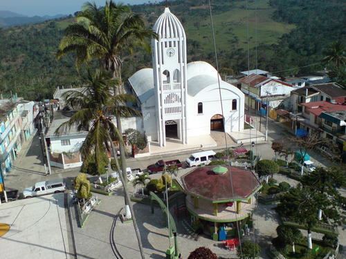
Map of Yecuatla, Ver., Mexico
Geographic
The municipality of Yecuatla is bordered to the north-east by Colipa, to the south by Chiconquiaco, to the west by Misantla and to the north-west by Colipa.
Agriculture
It produces principally maize, bean, green chile, orange fruit and coffee.
Celebrations
Every Augusts, a festival is held to celebrate Virgen de la Asunción, patron of the town and in December there is a festival held in honor of the Virgin of Guadalupe.
Climate
The climate in Yecuatla is warm-regular with an average temperature of 22.5°C, with rains in summer and autumn.