Time zone EET (UTC+2) Elevation 3 m Population 2,242 (2012) Area code 0324 | Licence plate 33 Local time Sunday 5:52 AM Postal code 33400 | |
 | ||
Weather 12°C, Wind NE at 8 km/h, 71% Humidity | ||
Yeşiltepe (former Çatalkeli) is a town in Mersin Province, Turkey.
Contents
- Map of YeC59Filtepe YeC59Filtepe Mahallesi 33400 Tarsus2FMersin Province Turkey
- Geography
- History
- Economy
- References
Map of Ye%C5%9Filtepe, Ye%C5%9Filtepe Mahallesi, 33400 Tarsus%2FMersin Province, Turkey
Geography
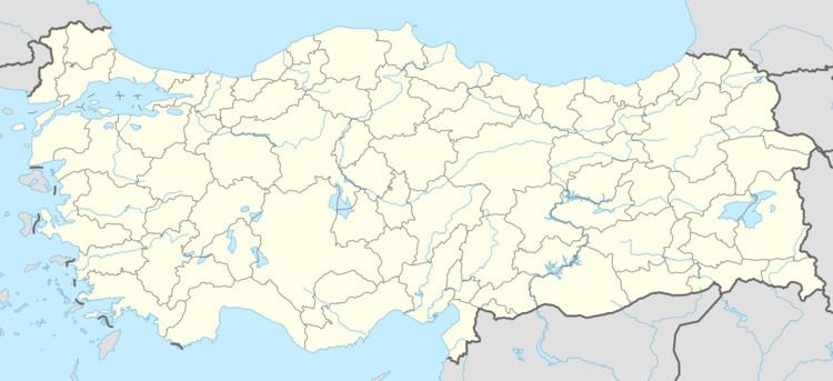
Yeşiltepe at 36°51′N 34°54′E is a town in Tarsus district of Mersin Province. It is about the half way from Tarsus to Mediterranean sea coast being 8 kilometres (5.0 mi) north of the coast and 8 kilometres (5.0 mi) south of Tarsus in the plains of Çukurova. Karabucak Forest is slightly at the north. The population is 2242 as of 2012.
History
No document exists about the deep history of the settlement. But probably before the project of Karabucak forest during the republican era, it was only a small village because of the marshes around the village which made the otherwise fertile plains unarable. After the World War I the village (then known as Çatalkeli) was occupied by the French army. After the treaty of Ankara (1921) and the project of Karabucak forest, the population of the village began to increase. The name of the village was changed to Çataltepe in 1965 and to Çatalkuyu after a merger with another settlement. In 1989, the village was declared a township and renamed as Yeşiltepe.
Economy
The town enjoys triple cropping income. Main products are vegetables such as leek, cabbage and tomato. Water melon is another important crop.
