
 | ||
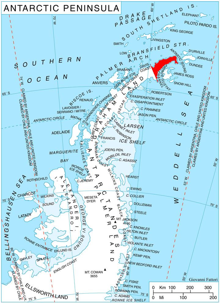
Yatrus Promontory (Bulgarian: полуостров Ятрус, ‘Poluostrov Yatrus’ po-lu-'os-trov 'ya-trus) is the predominantly ice-free promontory projecting 8 km in east direction from Trinity Peninsula, Graham Land into Prince Gustav Channel south of Eyrie Bay, and ending in Jade Point to the east and Bald Head to the southeast.
Contents
The feature is named after the ancient Roman town of Yatrus in Northern Bulgaria.
Location
Yatrus Promontory is centred at 63°36′50″S 57°41′10″W. German-British mapping in 1996.
Maps
References
Yatrus Promontory Wikipedia(Text) CC BY-SA