
Postcode(s) 4871 | Postal code 4871 | |
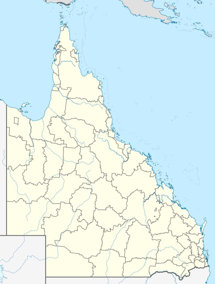 | ||
Yarraden is a coastal locality in the Shire of Cook, Queensland, Australia.
Contents
Map of Yarraden QLD 4892, Australia
Geography
Yarraden is on the eastern side of Cape York Peninsula bordering the Coral Sea. The Peninsula Developmental Road passes through in from north to south.
History
The town of Yarraden (14°25′43″S 143°17′47″E) was established to support the Lukin River gold field discovered in 1901. In March 1903, its gold reefs were described as "amongst the largest and richest". The two major gold mines were Golden King and Savannah. Golden King was worked from 1901 to 1914 and in 1917 and 1921. Savannah was worked from 1901 to 1907 and in 1912.
Heritage listings
Yarraden has a number of heritage-listed sites, including:
References
Yarraden, Queensland Wikipedia(Text) CC BY-SA