
Population 184 (2011 census) Lakefield Starcke | Postcode(s) 4892 Coral Sea Starcke Postal code 4892 | |
 | ||
Location 227 km (141 mi) NW of Cooktown394 km (245 mi) NNW of Cairns2,057 km (1,278 mi) NNW of Brisbane | ||
Lakefield is a locality in the Shire of Cook, Queensland, Australia. In the 2011 census, Lakefield had a population of 184 people.
Contents
Geography
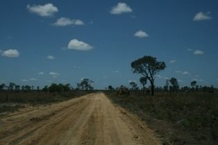
Lakefield is on the east coast of Cape York Peninsula. Lakefield Road runs through the locality from the south-east to the north-west with connections via the Endeavour Battle Camp Road to Laura and the Peninsula Developmental Road to the south-west and to Cooktown to the south-east.
The Normanby River, North Kennedy River, Hann River, Annie River, and many other creeks and rivers join as they flow to the northern coast of Lakefield to the Coral Sea, creating many lakes.
The Lakefield National Park is within Lakefield.
Heritage listings
Lakeland has a number of heritage-listed sites, including:
References
Lakefield, Queensland Wikipedia(Text) CC BY-SA