
Name meaning from personal name Arabic ياقوق | Current localities Hukok Date of depopulation May 1948 Palestine grid 195/254 | |
 | ||
Weather 16°C, Wind E at 3 km/h, 56% Humidity | ||
Yaquq (Arabic: ياقوق) was a Palestinian Arab village, which was depopulated during the 1947–1948 Civil War in Mandatory Palestine on May 1, 1948. It was located 12.5 km north of Tiberias and was built at the site of the ancient Jewish village Huqoq.
Contents
History
The earliest mention of the name Yaquq is in the text Signs of the Tomb Inscription by Rabbi Jacob, emissary of the Yeshiva of Rabbi Jehiel of Paris (before 1257 CE).
Ottoman era
In 1596, Yaquq was a part of the Ottoman nahiya ("subdistrict") of Jira under the liwa' ("district") of Safad, with a population of 396 Muslims. It paid taxes on a number of crops and produce, including wheat, barley and olives, goats, beehives, and a press which was either used for processing grapes or olives.
In 1875 Victor Guérin described the village as having about 20 stone houses. In 1881, the Palestine Exploration Fund's Survey of Western Palestine described it as having about 200 Muslim inhabitants, surrounded by arable land. There were many cisterns in the area, and there was a "good spring" there.
British Mandate era
In the 1922 census of Palestine, conducted by the British Mandate authorities, Yaquq wa Mawasi had a population of 294; all Muslims, decreasing in the 1931 census to 153; still all Muslims, in a total of 28 houses.
In 1945 it had a population of 210 Arabs, and the total land area was 8,507 dunams. In 1944/45 the village had 1,010 dunams of land used for cereals, 24 dunams irrigated or used for orchards, while 13 dunams were built-up (urban) area.
A kibbutz using the old Biblical name of Hukok was established near the site on 11 July 1945.
1948, aftermath
Following its depopulation in May 1948, the village was used as a training site for the Israeli army until it was bulldozed in 1968. Khalidi described the place in 1992:
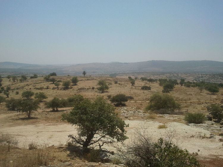
Stone rubble covers the entire site. There is one palm tree in the center and an olive grove on the edge. Part of the surrounding land is cultivated by Israelis, while the remainder is used as a grazing area. A canal that passes to the west is part of the Israeli National Water Carrier, the water project that carries water from Lake Tiberias to the central coastal plains.