
Area 31.11 km² | Governorate Beqaa Elevation 1,540 m Local time Monday 8:23 AM | |
 | ||
Weather 6°C, Wind E at 5 km/h, 50% Humidity | ||
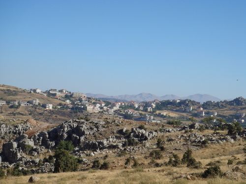
Yanta is a village situated in Rashaya District, Beqaa Governorate, Lebanon, 79 kilometres (49 mi) from Beirut. It is located close to the Syrian border north of Kfar Qouq.
Contents
Map of Yanta, Lebanon
The village sits about 1,540 metres (5,050 ft) above sea level. The name is variously claimed to mean "God sows" or "God the sower" in Semitic, "white dove" in Syraic and "elevation" in Arabic. It has been noted that a special type of yellow marl (lake sediments) has been noticed in Yanta and the surrounding area dated to the Oxfordian. In 2001 and 2002, archaeological studies were carried out at Kamid al lawz near Yanta that unearthed a large amount of Ancient Greek pottery.
Roman temple
There are ruins of an impressively sized and positioned Roman temple in the area that is presumed to have been built on the site of a forerunning Semitic temple. The ruins lie on either side of the road and are sparse but retain some upright stones. Around the site are remnants of ancient habitation and tombs.