
Country Thailand Time zone THA (UTC+7) Area 242.5 km² Province Maha Sarakham Province | Seat Yang Sisurat Postal code 44210 Population 35,482 (2005) Geocode 4411 | |
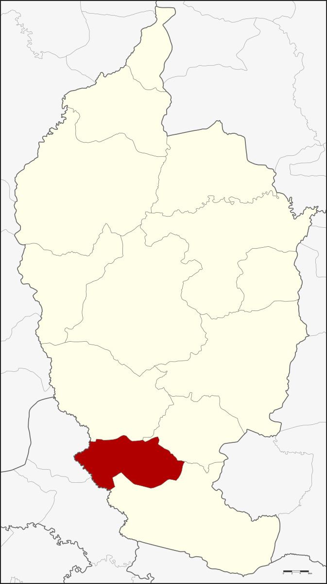 | ||
Yang Sisurat (Thai: ยางสีสุราช) is a district (Amphoe) in the south of Maha Sarakham Province, northeastern Thailand.
Contents
Map of Yang Sisurat District, Maha Sarakham, Thailand
Geography
Neighboring districts are (from the north clockwise) Na Chueak, Na Dun and Phayakkhaphum Phisai of Maha Sarakham Province, Phutthaisong and Na Pho of Buriram Province.
History
The minor district (King Amphoe) was created on April 1, 1989, when six tambon were split off from Phayakkhaphum Phisai district. It was upgraded to a full district on September 8, 1995.
Administration
The district is subdivided into 7 subdistricts (tambon), which are further subdivided into 91 villages (muban). There are no municipal (thesaban) areas, and 7 Tambon administrative organizations (TAO).
References
Yang Sisurat District Wikipedia(Text) CC BY-SA