
Country Thailand Time zone THA (UTC+7) Area 210 km² Province Sisaket Province | Seat Yang Chum Noi Postal code 33180 Population 36,991 (2005) Geocode 3302 | |
 | ||
Yang Chum Noi (Thai: ยางชุมน้อย) is a district (Amphoe) in the northern part of Sisaket Province, northeastern Thailand. Onion production is the largest source of Si Sa Ket province. More than 3,000 farmers are planting shallots shallots acre production area of over 9300 of approximately 26,000 tons per year.
Contents
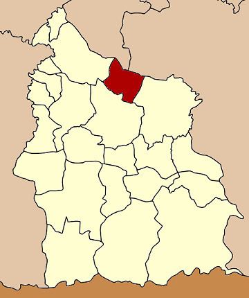
Map of Yang Chum Noi District, Sisaket, Thailand
Geography
Neighboring districts are (from the east clockwise) Kanthararom, Mueang Sisaket and Rasi Salai of Sisaket Province, Kho Wang of Yasothon Province and Khueang Nai of Ubon Ratchathani Province.
History
The minor district (King Amphoe) Yang Chum Noi was established on September 1, 1971, when the three tambon Yang Chum Noi, Khon Kam and Lin Fa were split off from Mueang Sisaket district. On March 25, 1979 it was upgraded to a full district.
Administration
The district is subdivided into 7 subdistricts (tambon), which are further subdivided into 86 villages (muban). Yang Chum Noi is a township (thesaban tambon) which covers parts of tambon Yang Chum Noi. There are further 7 Tambon administrative organizations (TAO).