
Postcode(s) 3461 Postal code 3461 Population 309 (2011) | Local time Monday 1:29 PM | |
 | ||
Location 128 km (80 mi) NW of Melbourne63 km (39 mi) N of Ballarat21 km (13 mi) N of Daylesford, Victoria Weather 12°C, Wind S at 29 km/h, 72% Humidity | ||
Yandoit is a town in Victoria, Australia. The town is in the Hepburn Shire local government area, 128 kilometres (80 mi) north west of the state capital, Melbourne. At the 2011 census, Yandoit and the surrounding area had a population of 309.
Map of Yandoit VIC 3461, Australia
The Yandoit area was first settled by Captain John Stuart Hepburn. Alluvial gold was discovered in 1854 and 5,000 miners came to the area creating a gold rush. The gold soon ran out and deep lead mining started in 1858. The town was surveyed in 1861 when it had a population of 232. Despite its population declining to 77 in 1881, Yandoit was proclaimed a township in 1885.
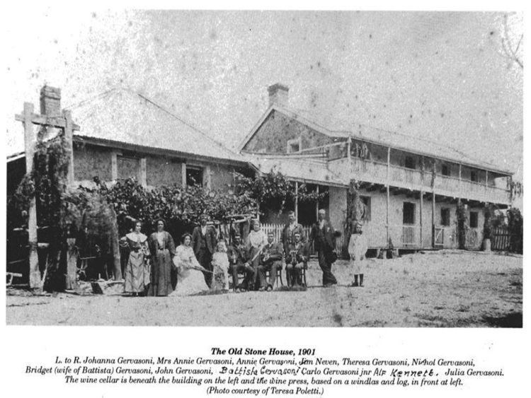
Many Swiss Italians settled in Yandoit and built many of the remaining stone buildings.
References
Yandoit Wikipedia(Text) CC BY-SA