
Country Thailand Muban 49 Area 500 km² Postal code 95120 Geocode 9505 | Tambon 7 Time zone THA (UTC+7) Population 60,091 (2014) Province Yala Province | |
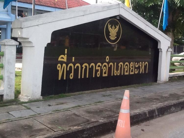 | ||
Yaha (Thai: ยะหา) is a district (Amphoe) in the western part of Yala Province, southern Thailand.
Contents
- Map of Yaha District Yala Thailand
- History
- Geography
- Central administration
- Local administration
- References
Map of Yaha District, Yala, Thailand
History
The area of Yaha was separated from Mueang Yala to create the district in 1907.
Geography
Neighboring districts are (from the west clockwise) Kabang of Yala province, Saba Yoi of Songkhla Province, Mueang Yala, Krong Pinang, Bannang Sata of Yala province again and the state Kedah of Malaysia.
Central administration
The district Yaha is subdivided into 7 subdistricts (Tambon), which are further subdivided into 49 administrative villages (Muban).
Number 5 and 9 belong to the tambon which now form the district Kabang.
Local administration
There are 2 subdistrict municipalities (Thesaban Tambon) in the district:
There are 6 subdistrict administrative organizations (SAO) in the district:
References
Yaha District Wikipedia(Text) CC BY-SA