Area 121.8 km² Local time Sunday 5:21 PM | Municipal Districts 0 Population 92,586 (2012) | |
 | ||
Weather 29°C, Wind S at 18 km/h, 64% Humidity | ||
Carnaval yaguate 2016 comparsa malefica
Yaguate is a municipality (municipio) of the San Cristóbal province in the Dominican Republic.
Contents
- Carnaval yaguate 2016 comparsa malefica
- Map of Yaguate 91000 Dominican Republic
- Accidente en yaguate
- Geography
- Well known people
- References
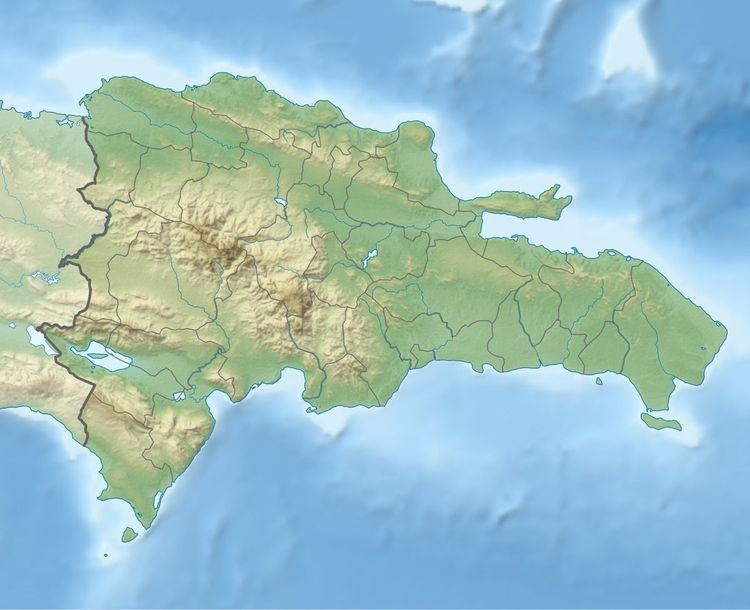
Map of Yaguate 91000, Dominican Republic
Accidente en yaguate
Geography
Yaguate is located about 30 miles from San Cristóbal near the DR-2 that goes to Baní.
The town square has a basketball court and several churches. There is also the Ayuntamiento, the town hall. There is a small secondary school, a clinic, and a few small grocery stores, along with several bars. The region is filled with sugar cane fields, and nearby the town is a large sugar refinery called "Ingenio Caei."
The road heading north from the town leads through several small neighborhoods to the Nizao river. There are many sand mines in the area, as well as some very good swimming spots as the river is very clear. Farther up the road is the Valdesia Dam.
In 2003, the town suffered a flood that covered roughly half of the town. Missionaries from the Church of Jesus Christ of Latter Day Saints helped to rescue many people from the flood, although one person died, trapped behind a locked door.
