
 | ||
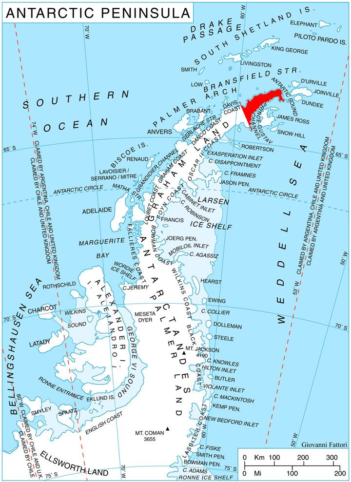
Yagodina Knoll (Bulgarian: Ягодинска могила, ‘Yagodinska Mogila’ \'ya-go-din-ska mo-'gi-la) is the ice-covered hill rising to 530 m at the northeast extremity of Trinity Peninsula in Graham Land, Antarctica. It is surmounting Mott Snowfield to the southwest.
Contents
The hill is named after the settlement of Yagodina in Southern Bulgaria.
Location
Yagodina Knoll is located at 63°17′16.5″S 57°09′06″W, which is 8.21 km south-southeast of Siffrey Point, 2.81 km west-southwest of Mount Bransfield, 3.85 km northwest of Koerner Rock and 22.4 km east-northeast of Fidase Peak. German-British mapping in 1996.
Maps
References
Yagodina Knoll Wikipedia(Text) CC BY-SA