
Topo map OS Landranger 124 Prominence 561 m | Pronunciation Welsh: [ə ˈɬɛθɾ] OS grid SH661258 Elevation 756 m Parent range Rhinogydd | |
 | ||
Listing Marilyn, Hewitt, Nuttall Similar Rhinog Fach, Rhinog Fawr, Diffwys, Foel Penolau, Moel Ysgyfarnogod | ||
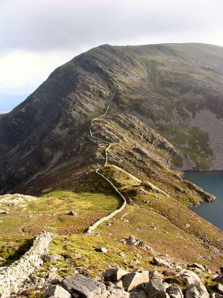
Y Llethr is the highest mountain in the Rhinogydd range of Snowdonia, in north Wales. The summit consists of a flat grassy top marked only by a small cairn. The summit is more in keeping with its southern flanks than its rugged northern approach.
Map of Y Llethr, Talybont, UK
The shortest route to the summit goes from the valley of Cwm Nantcol in the west, either directly or via Bwlch Drws Ardudwy and over the mountain of Rhinog Fach. To the south lies the mountain of Diffwys, to the south-east lies the mountain of Y Garn, to the north lies Rhinog Fach and to the west lies the hill of Moelfre.
References
Y Llethr Wikipedia(Text) CC BY-SA