
Area 2,327 km2 | ||
 | ||
Map of Xingshan County
Xingshan County (simplified Chinese: 兴山县; traditional Chinese: 興山縣; pinyin: Xīngshān Xiàn) is a county of western Hubei, People's Republic of China. It is under the administration of Yichang Prefecture-level City.
Contents
Geography
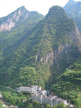
The county occupies the mountainous north-western corner of Yichang prefecture ("prefecture-level city"), bordering on Badong County in the west and Shennongjia in the north. The highest mountains within the county are Mount Wanchao (2,253 metres (7,392 ft) elevation) and Mount Wanfu (1,819 metres (5,968 ft)).
The county seat is in Gaofu town; this is the location that is simply marked as "Xingshan" on less detailed maps.
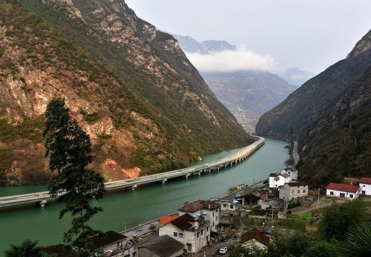
Although the county is away from the Yangtze River itself, and most of its land is at high elevations, the construction of the Three Gorges Dam resulted in the flooding of the valley of the Yangtze's tributary Xiang Xi (香溪, "Fragrant Stream"), where many of the county's residents lived. Accordingly, some 20,000 residents had to be relocated from the flooded areas. It is officially part of the Three Gorges Reservoir Region.
Xingshan Water Highway兴山水上公路
Administrative division
The county is administratively divided into 8 county-level units: 6 towns and 2 townships.
Towns:
Townships: