
Area 5 km² | Arrondissement Épinal Population 138 (1999) | |
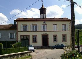 | ||
Xamontarupt ([ksamɔ̃taʁy]) is a commune in the Vosges department in Grand Est in northeastern France. Its inhabitants are known as Rupéains or Xamontois.
Contents
Map of 88460 Xamontarupt, France
Geography
Abutting the heavily wooded massif of le Fossard, the village is crossed by the Cuves stream, an outflow of the Vologne river.
History
Evidence of protohistoric human presence: construction from set stones, flakes of cut quartz. 400-year old holly in the village, probably some of the oldest in Europe, can be seen on the route leading to the Haut-du-Bois maquis.
In 1656, the village was called "Charmontaruz".
Personalities
References
Xamontarupt Wikipedia(Text) CC BY-SA