Area 8,300 km² Established 13 December 2013 | Time zone UTC+07 Capital Anouvong District ISO 3166 code LA-XS | |
 | ||
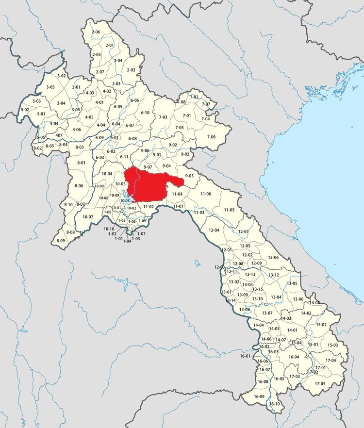
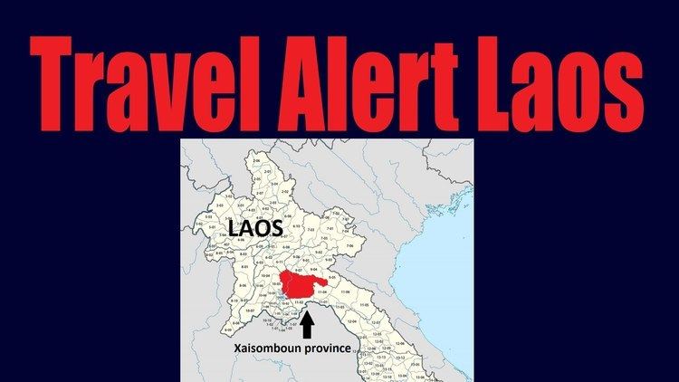
Xaisomboun (/saɪʒəʊmbuːn/ Lao ໄຊສົມບູນ) is a mountainous province located in Central Laos, between Vientiane Province and Xiangkhouang Province.
Contents
History
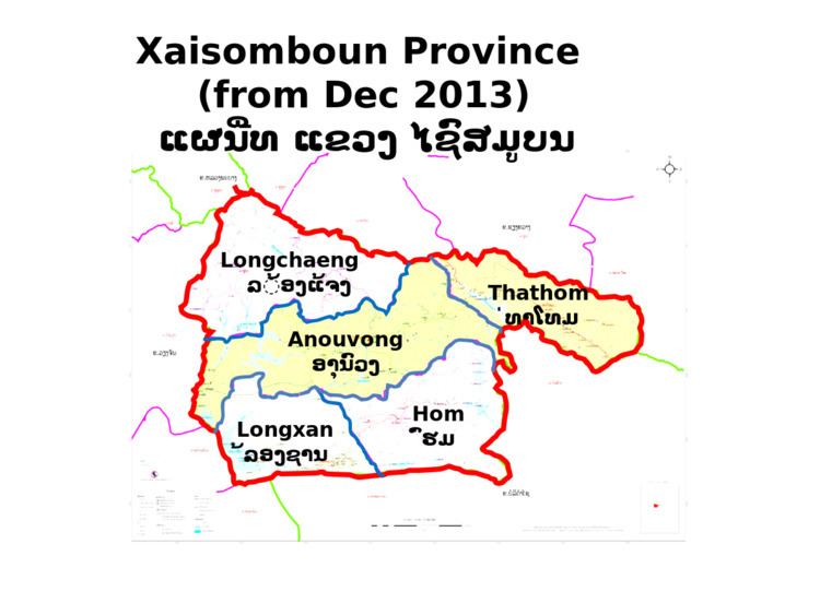
Xaisomboun is the 18th province of Lao PDR. It was known as a special administrative zone between 1994 and 2006, and established as a province on 13 December 2013.
Meaning of 'Xaisomboun' is 'Perfect Victory' (of Lao People's Revolutionary Party over America in 1970s)
Geography
Access to the province from Vientiane, the national capital, is via South 13 Road to Bolikhamxay Province, thence via Thaphabath District and Laongxan District.
Protected areas
Phou Khao Khouay National Biodiversity Conservation Area is a protected area located 40 kilometres (25 mi) northeast of Vientiane. It was established on 29 October 1993 covering an area of 2,000 km2 extending into Xaisomboun Province, Vientiane Prefecture, Vientiane Province, and Bolikhamxay Province. Its mountainous topography, with elevation varying from 200 m – 1761 m, emerged from "uplifting and exposure of the underlying sedimentary (Indosinias schist-clay-sandstone) complex". Sandstones are also seen spread in layers. Extensive Flat uplands with sandstones with hardly any soil cover are also part of the topography of the park. It has a large stretch of mountain range with sandstone cliffs, river gorges and three large rivers with tributaries which flow into the Mekong River. It has monsoonal climate with recorded annual rainfall of 1936.1 mm (with higher reaches recording more rainfall). The mean annual temperature is 26.6 °C with recorded the mean maximum of 31.6 °C and the mean minimum temperature of 21.5 °C. The forests are evergreen, Shorea mixed deciduous forest, dry dipterocarp and pine type; particularly coniferous forest, of mono specific stands of Pinus merkusii, Fokienia hodgsonsii, bamboo (mai sanod), and fire-climax grasslands. Animals found here include elephants, tigers, bears, 13 pairs of white-cheeked gibbons, and langurs and many species of reptiles, amphibians and birds. The green peafowl has been reported here, near Ban Nakhay and Ban Nakhan Thoung, although it was generally considered to be extinct in Laos; conservation management has increased its population.
Administrative divisions
There are 96 villages.
Demographics
Population: 12,065 families; 82,000 people (women: 39,070)
Tribes: Hmong 55.71%; Laoloum 25.97%; Khmu 18.32%
Economy
Anouvong District is the economic center.
Tourism
47 sites (natural: 36, historical: 9, and cultural: 3)
1 Hotel; 18 rooms
35 guesthouses; 315 rooms
94 restaurants