
Time zone CST (UTC-6) Elevation 200 m Local time Thursday 12:28 PM | Established November 6, 1849 ZIP codes 62313, 62341, 62379 Area 98.7 km² Population 248 (2010) | |
 | ||
Weather 11°C, Wind NW at 34 km/h, 51% Humidity | ||
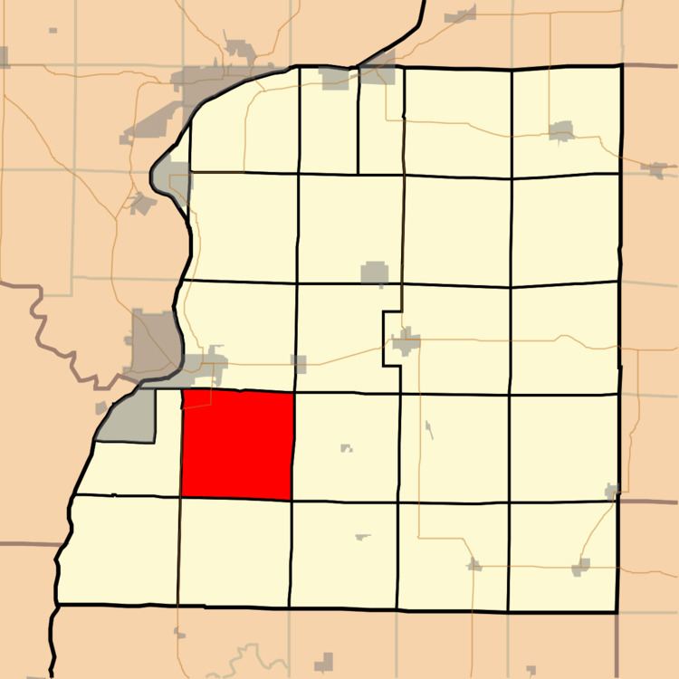
Wythe Township is one of twenty-five townships in Hancock County, Illinois, USA. As of the 2010 census, its population was 248 and it contained 121 housing units.
Contents
- Map of Wythe Township IL USA
- Geography
- Unincorporated towns
- Cemeteries
- Major highways
- School districts
- Political districts
- References
Map of Wythe Township, IL, USA
Geography
According to the 2010 census, the township has a total area of 38.1 square miles (99 km2), of which 38.08 square miles (98.6 km2) (or 99.95%) is land and 0.02 square miles (0.052 km2) (or 0.05%) is water.
Unincorporated towns
(This list is based on USGS data and may include former settlements.)
Cemeteries
The township contains these three cemeteries: McGee, Wythe Congregational and Wythe Presbyterian.
Major highways
School districts
Political districts
References
Wythe Township, Hancock County, Illinois Wikipedia(Text) CC BY-SA