
Local time Thursday 7:08 PM | Population 70 | |
 | ||
Weather 5°C, Wind NW at 19 km/h, 78% Humidity Voivodeship Warmian-Masurian Voivodeship | ||
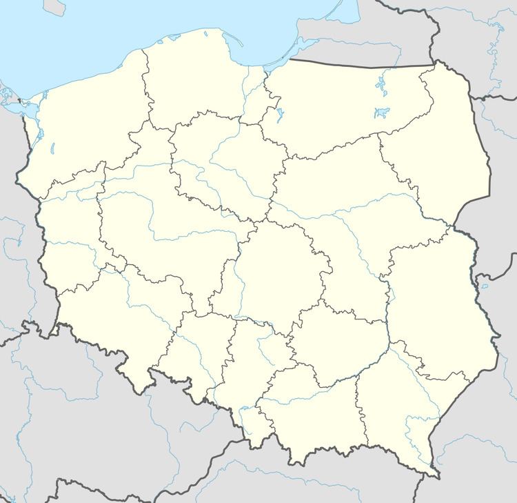
Wysoka Góra [vɨˈsɔka ˈɡura] is a village in the administrative district of Gmina Srokowo, within Kętrzyn County, Warmian-Masurian Voivodeship, in northern Poland, close to the border with the Kaliningrad Oblast of Russia. It lies approximately 1 kilometre (1 mi) north-west of Srokowo, 18 km (11 mi) north-east of Kętrzyn, and 83 km (52 mi) north-east of the regional capital Olsztyn.
Map of Wysoka G%C3%B3ra, Poland
Before 1945 the area was part of Germany (East Prussia).
The village has a population of 70.
References
Wysoka Góra, Warmian-Masurian Voivodeship Wikipedia(Text) CC BY-SA