
Elevation 451 m | Population 110 Local time Thursday 7:06 PM | |
 | ||
Weather 3°C, Wind W at 8 km/h, 98% Humidity | ||
Wysoczany [vɨsɔˈt͡ʂanɨ] (Ukrainian: Височани) is a village in the administrative district of Gmina Komańcza, within Sanok County, in the Subcarpathian Voivodeship (province) of south-eastern Poland, close to the border with Slovakia. It lies approximately 14 kilometres (9 mi) north-east of Komańcza, 12 km (7 mi) south of Sanok, and 66 km (41 mi) south of the regional capital Rzeszów.
Contents
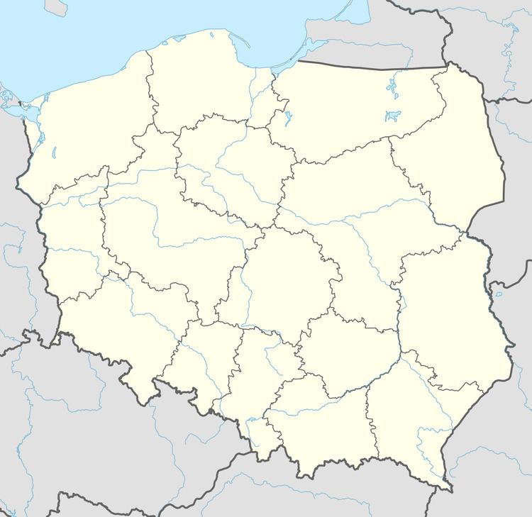
Map of Wysoczany, Poland
The village has a population of 110.
History
Country invested by Nicholas Herburt Odnowskiego around 1539, since 1635 to nearly Wallachia. Until 1772, the Ruthenian region, the land of Sanok. From 1772 belonged to cyrkułu Zaleski, and Sanok in Galicia.
Village lying on the railway line Przemyśl-Lupkowski, between station: Mokre and Szczawne, at the confluence of the creek Płonki Osława, 451 m (1,480 ft) above sea level
To 1914 in Sanok County Office, the judicial district in Bukowsko. In 1843 the village had 1172 inhabitants and 582 houses, pow. the village was 7.13 km2 (3 sq mi), with a population of Eastern Orthodox, Roman Catholics, and Jews. In 1936 the village had 634 inhabitants and in 2010 the village had 110 inhabitants. Part of the village was Wólka Kożuszne (167 inhabitants). The village has a stud farm and several farm tourism. From November 1918 to January 1919, it was part of the Komancza Republic.
After 1944, the local Rusyns (Rusnaks)- Ukrainians went to the Ukrainian SSR and they found the resettled population exchange.
In the years 1975-1998 belonged to the village administrative regional capital Rzeszów.
Orthodox Church
The records of the wooden village church of "St. Paraskeva", was built in 1805. Its width was 6 meters, and 17 meters in length, and 12 meters in height. It had three large domes with brass crosses. The bell tower was wooden with one dome, and four bells. The church was occupied by the Eastern Orthodox until 1944. The church was destroyed by the Polish Army during World War II, in the fall of 1944.
The cemetery dates back to 1512. After the church of 1805 was destroyed, there was little effort done to maintain the cemetery area. Since 1805 until the 1990s, the cemetery had been overgrown with trees and shrubs. Today, there are only a few tomb stones from that era left. Some have been destroyed during the building of the new stone church and by the people living there today.
The new Orthodox church was built in 1998, in the same place that the original former Orthodox church of 1805, of St. Paraskeva stood. Which was a subsidiary of the parish in futile. The new church now falls within the parish church in Mokre to the Uniates. The stone Orthodox Church was originally intended as a cemetery chapel. Externally it is covered with a tin roof and slain plates, The dome finished with an apparent signature of the Orthodox cross to the sanctuary for Christian. In the interior of a modern iconostasis painted by Mrs. Krogulecką. In 2005, the church has been partially constructed wall paintings.
Before the curtain is the church bell tower with modern bells. The old four bell from the former church (1805), were stolen.
Today, the only evidence that can be seen of the Church of the 1805 is the few tomb stones and the stone wall, surrounding the cemetery.
After the church conducts Mr. Jan Holowaty, Wysoczany 3.
Residents
Surname of residents: Bajtsowa, Basik, Bodnik, Chlibik, Chomik, Dodzow, Duński, Gelb, Hrycko, Hepko, Holowaty, Huzyla, Hajdush, Hotsko, Hvozda, Horonova, Hlibyk, Hajdush, Jacis, Jacyla, Kostyk, Kachala, Kaczała, Karpa, Korchma, Kachmar, Kiryk, Królak, Krycko, Lachar, Lewczak, Lukacheva, Luchkanych, Lukacz, Marcyszyn, Mashljanek, Maślany, Melnyk, Mytso, Orziński, Owad, Ochych, Priadka, Petrunjova, Pichova, Propper, Sachar, Sas, Shlomko, Sawa, Sykiełyk, Suchyna, Szevtsova, Szczerba, Tsap, Tsynanko, Tsinova, Ujcio, Wajda, Nawalaniec, Worotyła, Warholjak, Zawada.
House Numbers (German Records) 1. Kachmar 2. Holowaty 3. Mashljanyk 4. Ochych 5. Bodnik 6. Priadka 7. Pichova 8. Sachar 9. Karpa 10. Suchyna 11. Suchyna 12. Korchma 13. Hrycko 14. Hajdush 15. Hotsko 16. Hajdush 17. Sekielyk 18. Krolak 19. Bajtsowa 20. Hajdush 21. Szeremeta 22. Lukacheva 23. Kostyk 24. Kachala 25. Huzyla 26. Sahar 27. Hvozda 28. Lewczak 29. Chlibik 30. Jacis 31. Kiryk 32. Zawada 33. Hepko 34. Gelb 35. Lukacz 36. Propper 37. Nawalaniec 38. Sawa 39. Melnyk 40. Melnyk 41. Krycko 42. Chomik 43. Basik 44. Lachar 45. Ujcio 46. Owad 47. Owad 48. Owad 49. Marcyszyn 50. Szczerba 51. Tsinova 52. Dodzova 53. Saharowa 54. Mashljanyk 55. Luchkanych 56. Mashljanyk 57. Mytso 58. Jacyla 59. Jacyla 60. Village Ukrainian School 61. Bodnik 62. Tsynanko 63. Shlomko 64. Warholjak 65. Kroljak 66. Village Orthodox Church 67. Horonova 68. Hlibyk 69. Sekielyk 70. Mashljanyk 71. Maslany 72. Orzinski 73. Worotyla 74. Luchkanych 75. Petrunjova 76. Slabka 77. Petrunjova 78. Bajtsowa 79. Sas 80. Sas 81. Hrytsko 82. Jacyla 83. Szevtsova 84. Szevtsova 85. Wajda 86. Tsap 87. Tsap 88. Kaczala
As of 2009: Karpa, Hołowaty, Kaczała, Słabka, Terebecka, Starego, Kuper, Szeremeta, Bodnik, Janicki, Zawiślan, Wrona, Ślazyk, Kielan, Dyka, Błaż, Parzyszek, Bukowski.