
Existed: Mid 1970s – present Length 35.7 km | Restrictions: Closed winters Counties: Carbon | |
 | ||
South end: WYO 487 near Medicine Bow | ||
Wyoming Highway 77 (WYO 77) is a 22.18-mile (35.70 km) long Wyoming state highway in northeastern Carbon County. The highway begins at Highway 487 and proceeds north, parallel to the highway, to a northern terminus at Highway 487.
Contents
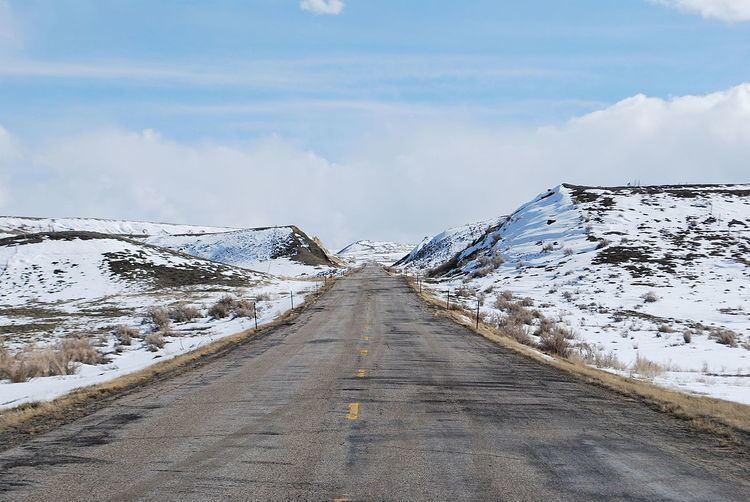
Map of WY-77, Wyoming, USA
Route description
Highway 77 begins at Highway 487, 22 miles (35 km) north of Medicine Bow to Highway 487 near the Shirley Basin Rest Area, which is located 27 miles (43 km) south of Highway 487's junction with Highway 220. Highway 77 stays to the west of Highway 487 and Shirley Basin, acting as an alternative route to Highway 487 between the two points. At its northern terminus, Highway 77 is about 48 miles (77 km) south of the city of Casper.
The entirety of Highway 77 maintains a speed limit of 65 miles per hour (105 km/h), and is closed during winters.
History
Wyoming Highway 77 was formerly numbered as Highway 487 while present day Highway 487 was designated as Highway 75. Highway 75 was created during the early 1970s with the creation of the Wyoming secondary state route system. When Highway 487 was rerouted over Highway 75 in the mid-1970s, old Highway 487 was redesignated as Highway 77.