
Elevation 264 m Local time Thursday 9:03 AM | GNIS feature ID 0469020 Area 124.9 km² Population 374 (2000) | |
 | ||
Weather 6°C, Wind NW at 27 km/h, 65% Humidity | ||
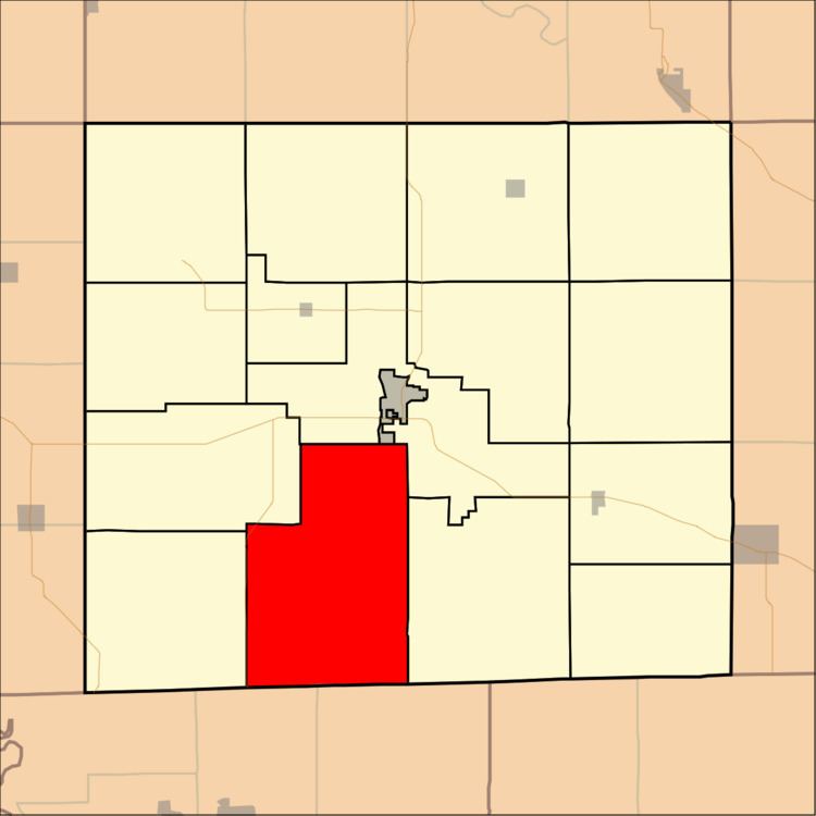
Wyacondah Township is a township in Davis County, Iowa, USA. As of the 2000 census, its population was 374.
Contents
- Map of Wyacondah IA 52537 USA
- History
- Geography
- Unincorporated towns
- Adjacent townships
- Cemeteries
- Major highways
- References
Map of Wyacondah, IA 52537, USA
History
Wyacondah Township was organized in 1846.
Geography
Wyacondah Township covers an area of 48.24 square miles (124.95 square kilometers); of this, 0.13 square miles (0.35 square kilometers) or 0.28 percent is water. The streams of Batten Branch and North Fabius Creek run through this township.
Unincorporated towns
(This list is based on USGS data and may include former settlements.)
Adjacent townships
Cemeteries
The township contains thirteen cemeteries: Bragg, Bridwell, Davies, Dooley, Fenton, Howell, Inskeep, Kelley, Morgan, Savannah, Small, Sullivan and Wesley Chapel.
Major highways
References
Wyacondah Township, Davis County, Iowa Wikipedia(Text) CC BY-SA