
Elevation 285 m Population 456 (2000) | GNIS feature ID 0468980 Area 94.64 km² Local time Friday 6:27 PM | |
 | ||
Weather 6°C, Wind N at 14 km/h, 80% Humidity | ||
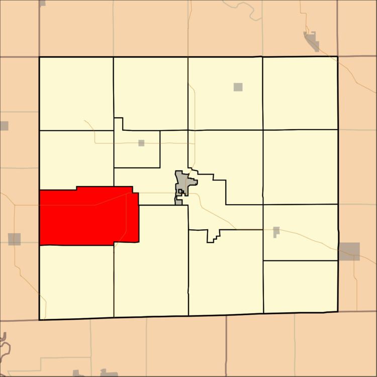
West Grove Township is a township in Davis County, Iowa, USA. As of the 2000 census, its population was 456.
Contents
- Map of West Grove IA USA
- History
- Geography
- Unincorporated towns
- Adjacent townships
- Cemeteries
- Major highways
- References
Map of West Grove, IA, USA
History
West Grove Township was organized in 1874.
Geography
West Grove Township covers an area of 36.54 square miles (94.65 square kilometers); of this, 0.1 square miles (0.27 square kilometers) or 0.29 percent is water.
Unincorporated towns
(This list is based on USGS data and may include former settlements.)
Adjacent townships
Cemeteries
The township contains eight cemeteries: Bell, Bethel, Evergreen, Hetzler, John, Mount Moriah, Shinn and West Grove.
Major highways
References
West Grove Township, Davis County, Iowa Wikipedia(Text) CC BY-SA