
Location North Pacific Highest elevation 3 m (10 ft) Elevation 3 m Total islands 13 Population 160 (1998) | Archipelago Ralik Area 4.33 km² Island group Ralik Chain | |
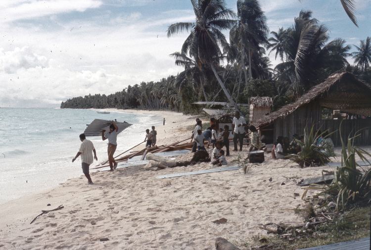 | ||
Wotho Atoll (Marshallese: Wōtto, [ɔ̯ɔ͡ʌtˠːʌ͡ɔɔ̯]) is a coral atoll of 13 islands in the Pacific Ocean, and forms a legislative district of the Ralik Chain of the Marshall Islands. Its total land area is only 4.33 square kilometres (1.67 sq mi), but it encloses a lagoon of 94.92 square kilometres (36.65 sq mi). The name "Wotho" means either "entrance through the reef", or "island far away" according to different sources.
Contents
Map of Wotho Atoll, RMI
The population of Wotho Atoll was 160 in 1998.
History
First recorded sighting of Wotho Atoll by Europeans was by the Spanish expedition of Miguel López de Legazpi on 12 January 1565. They were charted as Las Hermanas (The Sisters in Spanish). It is likely that it had been visited earlier, in between December 1542 and January 1543, by the Spanish expedition of Ruy López de Villalobos. The atoll was later also known as Schantz Islands after Johan Eberhard von Schantz, who rediscovered the islands on his circumnavigation of the globe on the Imperial Russian Navy ship America in 1835,. Wotho Atoll was claimed by the Empire of Germany along with the rest of the Marshall Islands in 1884. After World War I, the island came under the South Pacific Mandate of the Empire of Japan. the end of World War II, it came under the control of the United States as part of the Trust Territory of the Pacific Islands until the independence of the Marshall Islands in 1986.