
OS grid reference SD768427 Sovereign state United Kingdom Population 76 (2001) | Civil parish Worston Post town CLITHEROE Dialling code 01200 | |
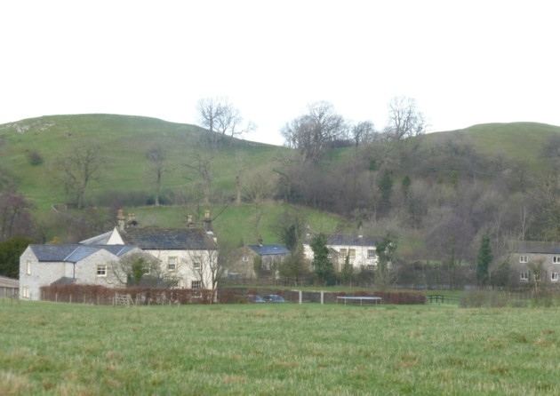 | ||
Worston is a small linear village and civil parish in Lancashire, England. The village is north-west of Pendle Hill, east of Clitheroe, and is in the Ribble Valley district. As it is only a small village, with a population of 76 at the 2001 census, it has no parish council, but instead has a parish meeting. The parish meeting is shared with Mearley, a small parish south of Worston with no villages or hamlets and a population of 25, the second smallest in Lancashire. From the 2011 Census population information for both Mearley and Worston is included within the civil parish of Pendleton.
Map of Worston, UK
The village has a public house "The Calf's Head". The single road that passes through the village continues as a single track road to Downham. Worston is bypassed to the west by the A59 road, which passes through the edge of the parish. Slightly further north is the route of a Roman road, which forms part of the parish boundary.
Worston was once a township in the ancient parish of Whalley. This became a civil parish in 1866, forming part of the Clitheroe Rural District from 1894 till 1974.
Mearley was also once a township in the ancient parish of Whalley. This became a civil parish in 1866, forming part of the Clitheroe Rural District from 1894 till 1974.
Along with Wiswell and Barrow (since 2015), both Mearley and Worston form the Wiswell and Pendleton ward of Ribble Valley Borough Council.