OS grid reference SP2910 Sovereign state United Kingdom Civil parish Asthall | Postcode district OX29 Dialling code 01993 | |
 | ||
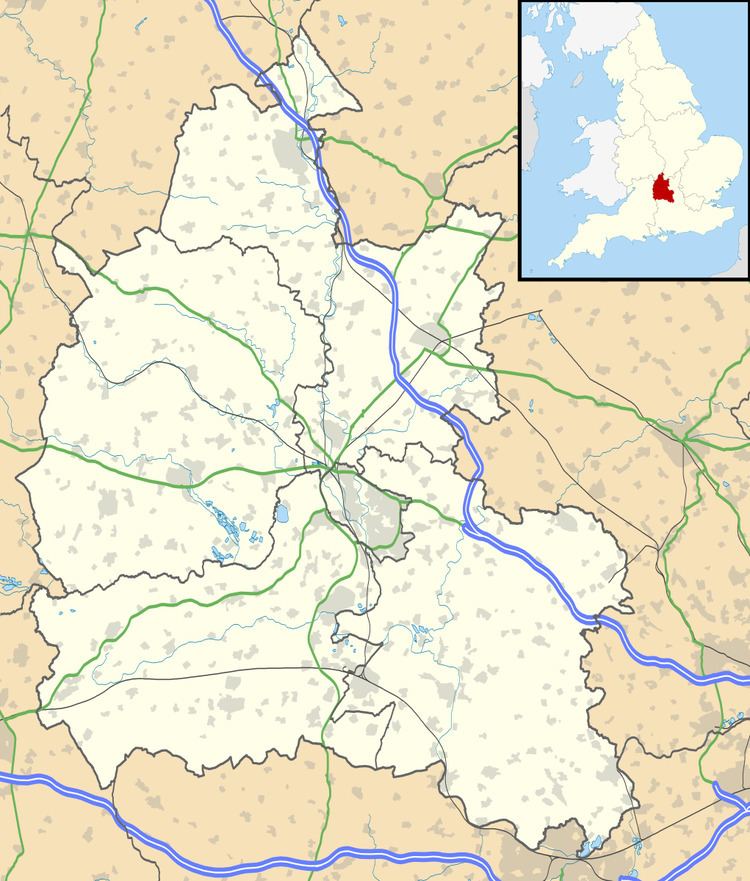
Worsham is a hamlet on the River Windrush about 3.5 miles (5.6 km) west of Witney.
Map of Worsham, Witney, UK
0.25 miles (400 m) east of Worsham on the north side of the Windrush are the remains of a small Roman house. In later history Worsham was the site of a water mill. The area also has two Cotswold stone quarries, both now disused.
References
Worsham, Oxfordshire Wikipedia(Text) CC BY-SA
