
Elevation −1 m (−3 ft) Area code 0299, 075 Local time Thursday 5:59 AM | Established 1 January 1991 Time zone CET (UTC+1) Area 45.14 km² | |
 | ||
Postcode 1456–1458, 1530–1534, 1546 Weather 6°C, Wind NW at 16 km/h, 82% Humidity | ||
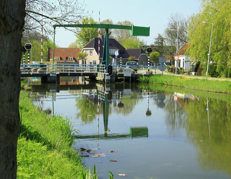
Wormerland ( pronunciation ) is a municipality in the Netherlands, in the province of North Holland.
Contents
Map of Wormerland, Netherlands
Population centres
The municipality of Wormerland consists of the following cities, towns, villages and/or districts: Jisp, Neck, Oostknollendam, Spijkerboor, Wijdewormer, Wormer.
It borders the municipalities Beemster, Graft-De Rijp, Zaanstad, Oostzaan, Landsmeer and Purmerend.
Local government
The municipal council of Wormerland consists of 17 seats, which are divided as follows:
Sport facilities
Soccer clubs:
References
Wormerland Wikipedia(Text) CC BY-SA