
Population 164 (2006 census) Wooroolin Corndale Local time Thursday 2:55 AM | Postcode(s) 4608 Postal code 4608 | |
 | ||
Weather 14°C, Wind SE at 10 km/h, 89% Humidity | ||
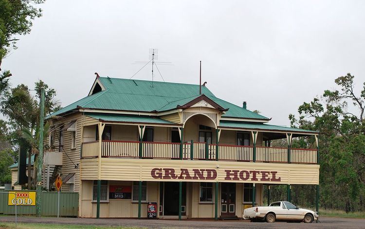
Wooroolin is a town in the South Burnett region of Queensland, Australia. The town is in the South Burnett Region LGA and on the Bunya Highway, 243 kilometres (151 mi) north west of the state capital, Brisbane. At the 2006 census, Wooroolin had a population of 164. Immediately to the east of the town is the Wooroolin Wetland, which is classified as a palustrine wetland, a non-tidal, inland, seasonally flooded, vegetated swamp. After successive floods in 2011 and 2013, the wetland burst its banks and Wooroolin was flooded for the first time in recorded history. As of 2015, the wetland is still completely full and resembles a large, shallow lake.
Map of Wooroolin QLD 4608, Australia
References
Wooroolin, Queensland Wikipedia(Text) CC BY-SA