
Population 469 (2006 census) Local time Thursday 2:28 AM | Postcode(s) 2340 Postal code 2340 | |
 | ||
Weather 11°C, Wind E at 16 km/h, 90% Humidity | ||
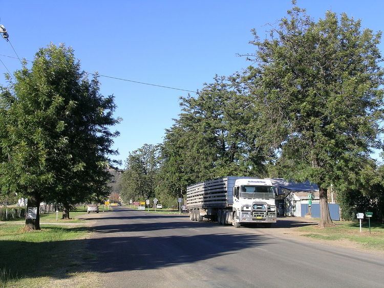
Woolomin is a small settlement on the bank of the Peel River, about 20 km north of Nundle, New South Wales, Australia and about 40 km south east of the city of Tamworth. It is on the Fossickers Way near Chaffey Dam. At the 2006 census, Woolomin had a population of 469.
Map of Woolomin NSW 2340, Australia
On 20 November 2000 approximately 50 homes were evacuated as the Peel River burst its banks.
The village has a public school and agriculture is the major industry for the region.
References
Woolomin, New South Wales Wikipedia(Text) CC BY-SA