
Population 130 (2011) Sovereign state United Kingdom Dialling code 01761 | OS grid reference ST632645 Local time Wednesday 5:16 PM | |
 | ||
Unitary authority Weather 15°C, Wind NW at 11 km/h, 55% Humidity | ||
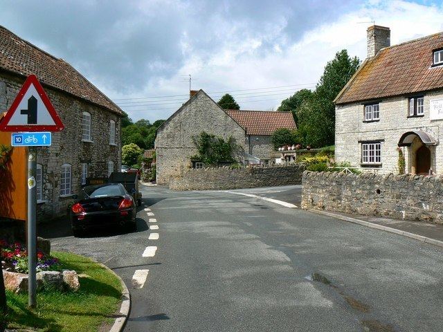
Woollard birchwood lane byway n s
Woollard is a small village on the River Chew in the Chew Valley in England. It is in the District of Bath and North East Somerset and the ceremonial county of Somerset, and is 7 miles (11 km) from Bristol, 9 miles (14 km) from Bath, and 4 miles (6.4 km) from Keynsham.
Contents
- Woollard birchwood lane byway n s
- Map of Woollard Bristol UK
- History
- Government and politics
- Demographics
- Listed Buildings
- References
Map of Woollard, Bristol, UK
The special architectural and historic interest of Woollard was recognised by its designation as a Conservation Area on 25 July 1990.
History
Woollard had a medieval bridge with three pointed arches and double arch-ribs. This was rebuilt following the substantial damage caused by the floods of 1968.
It is close to the route of the ancient Wansdyke, and lies on the Monarch's Way long-distance footpath.
Woollard is also a traditional surname, having relations in the farming land of Saffron Walden and Suffolk.
Government and politics
Woollard is partly in the civil parish of Compton Dando and partly in the civil parish of Publow with Pensford. It is part of the Farmborough Ward, which is represented by one councillor on the Bath and North East Somerset Unitary Authority which has responsibilities for services such as education, refuse, tourism etc. The village is a part of the North East Somerset constituency and part of the South West England constituency of the European Parliament.
Demographics
According to the 2001 Census, the Farmborough Ward (which includes Compton Dando, Marksbury, Hunstrete and Chewton Keynsham), had 1,111 residents, living in 428 households, with an average age of 44.5 years. Of these 71% of residents describing their health as 'good', 21% of 16- to 74-year-olds had no qualifications; and the area had an unemployment rate of 1.0% of all economically active people aged 16–74. In the Index of Multiple Deprivation 2004, it was ranked at 22,100 out of 32,482 wards in England, where 1 was the most deprived LSOA and 32,482 the least deprived.[1]
Listed Buildings
Woollard has a variety of Grade II listed buildings: