
OS grid reference TR2350 Local time Wednesday 5:04 PM | Sovereign state United Kingdom Postcode district CT4 | |
 | ||
Weather 14°C, Wind NW at 18 km/h, 52% Humidity | ||
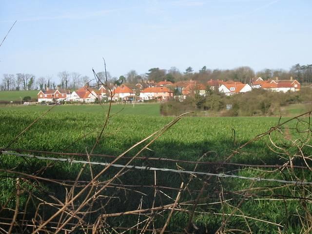
Woolage Village is a former mining village situated midway between Canterbury and Dover in the English county of Kent. It is 1 mile (1.6 km) to the east of the A2 road. Together with Womenswold and Woolage Green, it forms Womenswold parish.
Map of Woolage Village, Canterbury, UK
It consists of approximately 52 semi-detached houses built in 1912, to house miners and their families working at the nearby Snowdown Colliery. The village shop and post office was shut in the 1990s and converted to a dwelling.
References
Woolage Village Wikipedia(Text) CC BY-SA