ZIP codes 93287 Population 135 (2008) | Time zone PST (UTC-8) Elevation 504 m Local time Wednesday 8:55 AM | |
 | ||
Weather 16°C, Wind SE at 5 km/h, 41% Humidity | ||
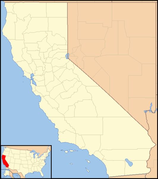
Woody (formerly, Weringdale) is an unincorporated community in Kern County, California. It is located in the foothills of the Greenhorn Mountains, 25 miles (40 km) north-northeast of Bakersfield at an elevation of 1654 feet (504 m).
Map of Woody, CA 93287, USA
Woody was named after Dr. Sparrell Walter Woody, who homesteaded with his wife at the foot of Blue Mountain in 1862. The Woody School District was founded in 1873 and a post office opened in 1889. Copper was discovered near Woody in 1891 by Joseph Weringer, who founded the Greenback Mine and built the nine-room Weringdale Hotel. Quartz gold was found on Blue Mountain in 1894, and the population of the town, then known as Weringdale, grew to over a hundred. By the time the townsite was subdivided by Weringer in 1909, the community's name had reverted back to Woody.
A small ranch town, the total population of Woody has changed little since the mid-1890s. The post office, fire department, and Blue Mountain Graveyard are situated on the outskirts of town. There is also an elementary school and a community hall where the Woody residents have gatherings and events. There used to be a restaurant/ bar in Woody, but financial problems caused it to close.
A local legend states that the outlaw Joaquin Murrieta once had a cave/hideout in the area that he used while on the run.
