
Country United States Area code(s) 507 Elevation 556 m Local time Wednesday 10:16 AM | Time zone Central (CST) (UTC-6) FIPS code 27-71680 Zip code 56186 Population 120 (2013) | |
 | ||
Weather 7°C, Wind NE at 16 km/h, 64% Humidity | ||
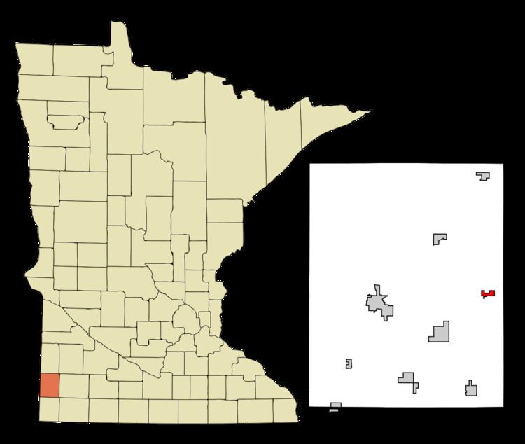
Woodstock is a city in Pipestone County, Minnesota, United States. The population was 124 at the 2010 census.
Contents
Map of Woodstock, MN 56186, USA
History
Woodstock was platted in 1879. The city was named after Woodstock, Illinois. A post office has been in operation at Woodstock since 1879. Woodstock was incorporated in 1892.
Geography
According to the United States Census Bureau, the city has a total area of 0.52 square miles (1.35 km2), all of it land.
2010 census
As of the census of 2010, there were 124 people, 55 households, and 30 families residing in the city. The population density was 238.5 inhabitants per square mile (92.1/km2). There were 70 housing units at an average density of 134.6 per square mile (52.0/km2). The racial makeup of the city was 98.4% White, 0.8% Native American, and 0.8% Asian.
There were 55 households of which 27.3% had children under the age of 18 living with them, 49.1% were married couples living together, 3.6% had a female householder with no husband present, 1.8% had a male householder with no wife present, and 45.5% were non-families. 36.4% of all households were made up of individuals and 20% had someone living alone who was 65 years of age or older. The average household size was 2.25 and the average family size was 2.90.
The median age in the city was 45 years. 20.2% of residents were under the age of 18; 8% were between the ages of 18 and 24; 21.8% were from 25 to 44; 31.5% were from 45 to 64; and 18.5% were 65 years of age or older. The gender makeup of the city was 50.0% male and 50.0% female.
2000 census
As of the census of 2000, there were 132 people, 63 households, and 28 families residing in the city. The population density was 238.3 people per square mile (92.7/km²). There were 72 housing units at an average density of 130.0 per square mile (50.5/km²). The racial makeup of the city was 99.24% White and 0.76% Native American.
There were 63 households out of which 23.8% had children under the age of 18 living with them, 42.9% were married couples living together, 1.6% had a female householder with no husband present, and 54.0% were non-families. 50.8% of all households were made up of individuals and 31.7% had someone living alone who was 65 years of age or older. The average household size was 2.08 and the average family size was 3.24.
In the city, the population was spread out with 25.0% under the age of 18, 2.3% from 18 to 24, 31.1% from 25 to 44, 14.4% from 45 to 64, and 27.3% who were 65 years of age or older. The median age was 40 years. For every 100 females there were 85.9 males. For every 100 females age 18 and over, there were 80.0 males.
The median income for a household in the city was $17,500, and the median income for a family was $42,500. Males had a median income of $22,083 versus $19,250 for females. The per capita income for the city was $13,269. There were no families and 5.5% of the population living below the poverty line, including no under eighteens and 9.1% of those over 64.
Politics
Woodstock is located in Minnesota's 1st congressional district, represented by Mankato educator Tim Walz, a Democrat. At the state level, Woodstock is located in Senate District 22, represented by Republican Doug Magnus, and in House District 22A, represented by Republican Joe Schomacker.