
ZIP code 80757 Elevation 1,369 m | Time zone MST (UTC-7) GNIS feature ID 0183049 Local time Wednesday 8:31 AM | |
 | ||
Weather 2°C, Wind W at 14 km/h, 76% Humidity | ||
Woodrow is an unincorporated community and a U.S. Post Office in Washington County, Colorado, United States. The Woodrow Post Office has the ZIP Code 80757.
Contents
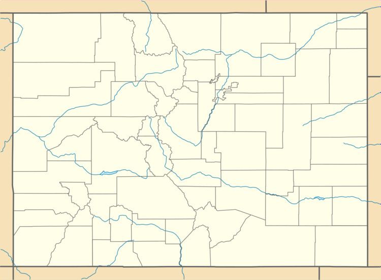
Map of Woodrow, CO 80757, USA
A post office called Woodrow has been in operation since 1913. The community was named after Woodrow Wilson, 28th President of the United States.
Geography
Woodrow is located at 39°59′17″N 103°35′30″W (39.988169,-103.591633).
References
Woodrow, Colorado Wikipedia(Text) CC BY-SA