
Largest town Akron Website co.washington.co.us Founded 1887 Unemployment rate 2.9% (Apr 2015) | Seat Akron Area 6,537 km² Population 4,803 (2013) | |
 | ||
Rivers South Platte River, East Fork Plumb Bush Creek | ||
Tractor drive 2013 washington county colorado
Washington County is one of the 64 counties of the U.S. state of Colorado. As of the 2010 census, the population was 4,814. The county seat is Akron. The county was named in honor of the United States President George Washington.
Contents
- Tractor drive 2013 washington county colorado
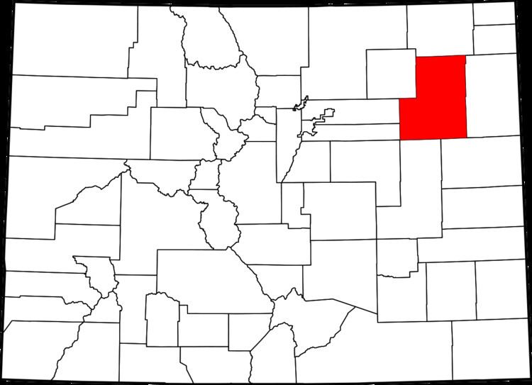
- Map of Washington County CO USA
- Geography
- Adjacent counties
- Trails and byways
- Demographics
- Education
- References
Map of Washington County, CO, USA
Geography
According to the U.S. Census Bureau, the county has a total area of 2,524 square miles (6,540 km2), of which 2,518 square miles (6,520 km2) is land and 5.9 square miles (15 km2) (0.2%) is water.
Adjacent counties
Trails and byways
Demographics
As of the census of 2000, there were 4,926 people, 1,989 households, and 1,408 families residing in the county. The population density was 2 people per square mile (1/km²). There were 2,307 housing units at an average density of 1 per square mile (0/km²). The racial makeup of the county was 96.39% White, 0.04% Black or African American, 0.57% Native American, 0.10% Asian, 0.02% Pacific Islander, 2.03% from other races, and 0.85% from two or more races. 6.29% of the population were Hispanic or Latino of any race.
There were 1,989 households out of which 31.30% had children under the age of 18 living with them, 60.70% were married couples living together, 6.40% had a female householder with no husband present, and 29.20% were non-families. 26.20% of all households were made up of individuals and 11.60% had someone living alone who was 65 years of age or older. The average household size was 2.46 and the average family size was 2.97.
In the county, the population was spread out with 26.50% under the age of 18, 6.30% from 18 to 24, 24.80% from 25 to 44, 24.20% from 45 to 64, and 18.20% who were 65 years of age or older. The median age was 40 years. For every 100 females there were 103.40 males. For every 100 females age 18 and over, there were 100.10 males.
The median income for a household in the county was $32,431, and the median income for a family was $37,287. Males had a median income of $26,225 versus $21,558 for females. The per capita income for the county was $17,788. About 8.60% of families and 11.40% of the population were below the poverty line, including 16.30% of those under age 18 and 9.40% of those age 65 or over.
Education
There are 5 school districts in Washington County:
Akron R-1 includes:
Arickaree R-2 includes:
Lone Star 101 includes:
Otis R-3 includes: