
Country United States Time zone CST (UTC-6) Elevation 181 m Local time Wednesday 8:35 AM | Established November 6, 1849 ZIP codes 61441, 61501 Area 98.91 km² Population 415 (2010) | |
 | ||
Weather 7°C, Wind NE at 32 km/h, 90% Humidity | ||
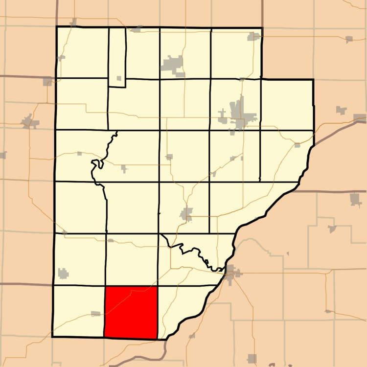
Woodland Township is one of twenty-six townships in Fulton County, Illinois, USA. As of the 2010 census, its population was 415 and it contained 195 housing units.
Contents
- Map of Woodland Township IL 61501 USA
- Geography
- Unincorporated towns
- Cemeteries
- Major highways
- Airports and landing strips
- Landmarks
- School districts
- Political districts
- References
Map of Woodland Township, IL 61501, USA
Geography
According to the 2010 census, the township has a total area of 38.19 square miles (98.9 km2), of which 37.96 square miles (98.3 km2) (or 99.40%) is land and 0.23 square miles (0.60 km2) (or 0.60%) is water.
Unincorporated towns
(This list is based on USGS data and may include former settlements.)
Cemeteries
The township contains these five cemeteries: Hart, Mount Zion, Summum, Summum Sixteen and Woodland.
Major highways
Airports and landing strips
Landmarks
School districts
Political districts
References
Woodland Township, Fulton County, Illinois Wikipedia(Text) CC BY-SA