
Country United States County Hennepin Incorporated 1948 Elevation 290 m Population 443 (2013) | Founded 1882 Time zone Central (CST) (UTC-6) Zip code 55391 Local time Wednesday 8:39 AM | |
 | ||
Weather 6°C, Wind N at 14 km/h, 53% Humidity | ||
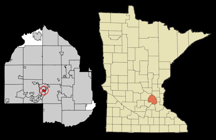
Woodland is a city in Hennepin County, Minnesota, United States, with lake shore property on Lake Minnetonka. The population was 437 at the 2010 census. The first year-round settlers arrived in 1882, and the city was incorporated in December 1948.
Contents
Map of Woodland, MN 55391, USA
Geography
According to the United States Census Bureau, the city has a total area of 0.62 square miles (1.61 km2), of which 0.58 square miles (1.50 km2) is land and 0.04 square miles (0.10 km2) is water. County 101 serves as a main route.
2010 census
As of the census of 2010, there were 437 people, 169 households, and 138 families residing in the city. The population density was 753.4 inhabitants per square mile (290.9/km2). There were 189 housing units at an average density of 325.9 per square mile (125.8/km2). The racial makeup of the city was 98.2% White, 0.2% African American, 0.5% Asian, 0.2% from other races, and 0.9% from two or more races. Hispanic or Latino of any race were 2.3% of the population.
There were 169 households of which 29.6% had children under the age of 18 living with them, 74.6% were married couples living together, 4.7% had a female householder with no husband present, 2.4% had a male householder with no wife present, and 18.3% were non-families. 16.0% of all households were made up of individuals and 7.1% had someone living alone who was 65 years of age or older. The average household size was 2.59 and the average family size was 2.89.
The median age in the city was 51.8 years. 22.9% of residents were under the age of 18; 4.9% were between the ages of 18 and 24; 11.4% were from 25 to 44; 41.9% were from 45 to 64; and 18.8% were 65 years of age or older. The gender makeup of the city was 49.7% male and 50.3% female.
2000 census
As of the census of 2000, there were 480 people, 173 households, and 144 families residing in the city. The population density was 840.7 people per square mile (325.1/km²). There were 188 housing units at an average density of 329.3 per square mile (127.3/km²). The racial makeup of the city was 97.71% White, 0.42% Asian, 0.62% from other races, and 1.25% from two or more races. Hispanic or Latino of any race were 1.04% of the population.
There were 173 households out of which 38.7% had children under the age of 18 living with them, 76.3% were married couples living together, 5.8% had a female householder with no husband present, and 16.2% were non-families. 13.3% of all households were made up of individuals and 4.0% had someone living alone who was 65 years of age or older. The average household size was 2.77 and the average family size was 3.06.
In the city, the population was spread out with 28.1% under the age of 18, 5.0% from 18 to 24, 18.3% from 25 to 44, 36.7% from 45 to 64, and 11.9% who were 65 years of age or older. The median age was 44 years. For every 100 females there were 92.8 males. For every 100 females age 18 and over, there were 93.8 males.
The median income for a household in the city was $153,881, and the median income for a family was $175,000. Males had a median income of $100,000 versus $46,250 for females. The per capita income for the city was $95,495. About 3.8% of families and 4.6% of the population were below the poverty line, including 6.4% of those under age 18 and none of those age 65 or over.