
Postcode(s) 2476 Population 332 (2006 census) Local time Wednesday 10:47 PM | Postal code 2476 State electorate(s) Lis | |
 | ||
Location 798 km (496 mi) N of Sydney145 km (90 mi) SW of Brisbane89 km (55 mi) E of Warwick (Qld)90 km (56 mi) NW of Casino60 km (37 mi) NW of Kyogle Weather 14°C, Wind SE at 11 km/h, 95% Humidity Federal divisions Division of New England, Division of Page | ||
Woodenbong nsw
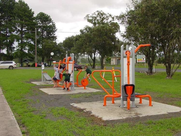
Woodenbong is a rural village in the Kyogle Shire of northern New South Wales. It is situated 10 km south of the Queensland border and five kilometres south of the junction of the Summerland Way and the Mount Lindesay Road, which leads to Legume and eventually Tenterfield. At the 2006 census Woodenbong had a population of 332.
Contents
Map of Woodenbong NSW 2476, Australia
Woodenbong is home to Woodenbong Central School, a Kindergarten - Year 12 central school, that serves as the common education centre for Woodenbong, as well as surrounding towns, Urbenville and Muli Muli. Woodenbong Central School has played host on numerous occasions to sporting events held between other rural New South Wales towns.
It is 798 km north-east of Sydney, 145 km from Brisbane and 60 km north-west of Kyogle.
The name is derived from an Githabul Tribal Nation word meaning wood ducks on water.
Dairy farming and cattle grazing are the two main industries. A number of National Parks are close to Woodenbong, some of which are declared World Heritage areas.