OS grid reference SK631477 Post town NOTTINGHAM District Gedling | Sovereign state United Kingdom Population 1,872 (2011) Postcode district NG14 | |
 | ||
Woodborough is a village in Nottinghamshire, England. It is located 7 miles north-east of Nottingham. According to the 2001 census it had a population of 1,872. rising slightly to 1,872 at the 2011 census.
Contents
Map of Woodborough, Nottingham, UK
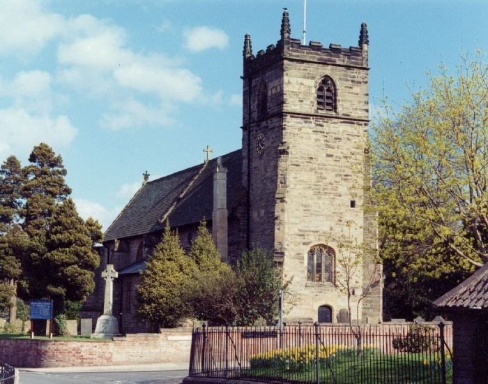
St. Swithun's Church, Woodborough is a 13th-century tower with a 14th-century chancel. Woodborough was a framework-knitting village, and some two-storey cottages with ground-floor knitter's windows remain at the junction of High Street and Shelt Hill.
Woodborough also has a primary school called Woodborough Woods Foundation CofE Primary School, where 200+ students attend at any one time.
Bus services
Nottingham City Transport
References
Woodborough, Nottinghamshire Wikipedia(Text) CC BY-SA
