
Local time Wednesday 5:58 AM | ||
 | ||
Weather -3°C, Wind E at 6 km/h, 94% Humidity | ||
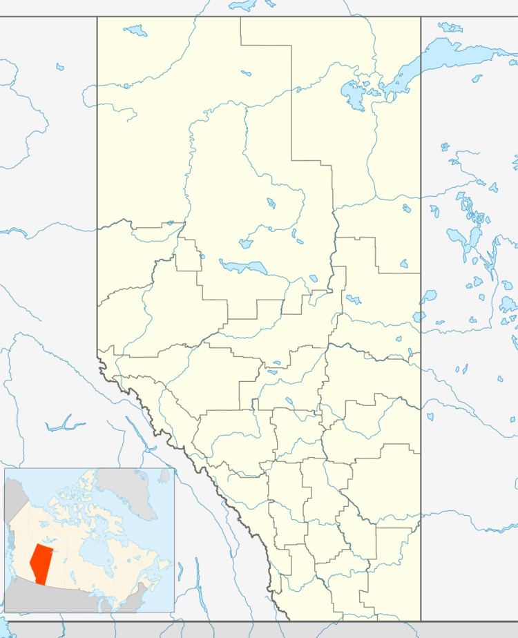
Woodbend Crescent is an unincorporated community in Alberta, Canada within Parkland County that is recognized as a designated place by Statistics Canada. It is located on the north side of Township Road 514, 1.6 km (0.99 mi) east of Highway 60.
Contents
Map of Woodbend, AB, Canada
Demographics
As a designated place in the 2016 Census of Population conducted by Statistics Canada, Woodbend Crescent recorded a population of 74 living in 26 of its 27 total private dwellings, a change of −28.8% from its 2011 population of 104. With a land area of 0.72 km2 (0.28 sq mi), it had a population density of 102.8/km2 (266.2/sq mi) in 2016.
As a designated place in the 2011 Census, Woodbend Crescent had a population of 104 living in 36 of its 37 total dwellings, a -1% change from its 2006 population of 105. With a land area of 0.71 km2 (0.27 sq mi), it had a population density of 146.5/km2 (379/sq mi) in 2011.