
Area 6.99 km (2.70 sq mi) OS grid reference TG012279 Local time Wednesday 12:33 PM Postcode district NR20 | Population 217 (2011) Civil parish Wood Norton | |
 | ||
Weather 11°C, Wind NW at 26 km/h, 62% Humidity | ||
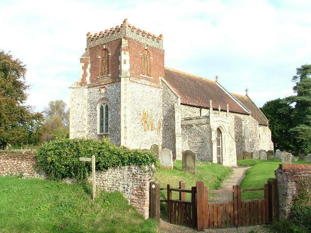
Wood Norton is a village and civil parish in the English county of Norfolk. It is located 10 km (6.2 mi) east of Fakenham and 30 km (19 mi) north-west of Norwich.
Contents
Map of Wood Norton, UK
The civil parish has an area of 6.99 km2 (2.70 sq mi) and in the 2001 census had a population of 221 in 94 households, reducing slightly to 217 at the 2011 Census. For the purposes of local government, the parish falls within the district of North Norfolk. For Westminster elections, Wood Norton lies within the Broadland constituency, currently represented by a Conservative, Keith Simpson.
People
The original Blue Stocking, Benjamin Stillingfleet was born here where his father Edward Stillingfleet was rector.
References
Wood Norton, Norfolk Wikipedia(Text) CC BY-SA