
Population 3,820 Sovereign state United Kingdom | OS grid reference SU913885 Post town HIGH WYCOMBE Postcode district HP10 | |
 | ||
Weather 12°C, Wind N at 14 km/h, 60% Humidity | ||
Wooburn green from the air
Wooburn Green is a village in the parish of Wooburn and Bourne End, Buckinghamshire, England. The parish name had changed to Wooburn by the time of the 2011 Census and the population was included there.
Contents
Map of Wooburn Green, UK
Location
Wooburn Green is a village situated four miles south east of the town of High Wycombe. It neighbours Beaconsfield, Loudwater, Flackwell Heath, and Bourne End. It is close to the M40 motorway, meaning London and Birmingham are easily accessible by road.
The village was once served by the High Wycombe to Bourne End railway line, however the line and station closed in 1970.
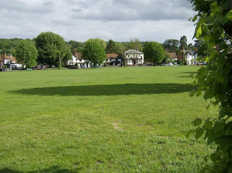
The Green
The large village green (a conservation area) is fringed with trees and is surrounded by older cottages, small Victorian and Edwardian houses, modern shops and local businesses. A Village Fête and funfairs are held there regularly throughout the year.
1st Wooburn Scout Group meets at their headquarters in Watery Lane, Wooburn Green.