
Country United States Time zone Eastern (EST) (UTC-5) Elevation 335 m | ZIP code 03897 Local time Wednesday 5:36 AM | |
 | ||
Weather 1°C, Wind N at 18 km/h, 97% Humidity | ||
How to say or pronounce usa cities wonalancet new hampshire
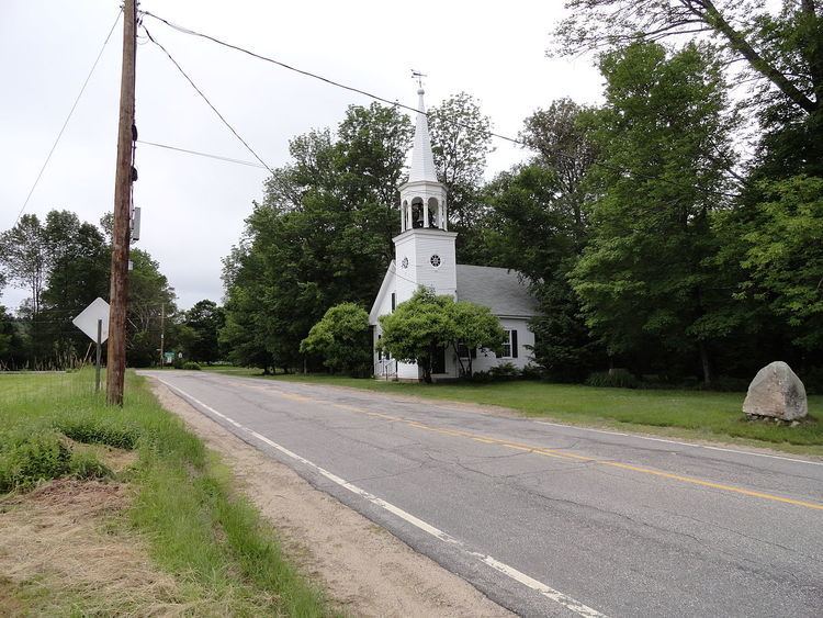
Wonalancet is an unincorporated community in the northwestern corner of the town of Tamworth in Carroll County, New Hampshire, United States. Many popular hiking trails into the Sandwich Range of the White Mountains have trailheads in the area, particularly in the locale known as Ferncroft, up a short spur road from Wonalancet.
Contents
- How to say or pronounce usa cities wonalancet new hampshire
- Map of Wonalancet Tamworth NH 03897 USA
- References
Map of Wonalancet, Tamworth, NH 03897, USA
The village is named for the Pennacook Indian leader Wonalancet.
Wonalancet has a separate ZIP code (03897) from the rest of Tamworth.
References
Wonalancet, New Hampshire Wikipedia(Text) CC BY-SA