
Elevation 366 m (1,201 ft) Area 4.06 km² Population 218 (31 Dec 2008) Dialling code 02677 | Time zone CET/CEST (UTC+1/+2) Local time Wednesday 5:20 AM Postal code 56826 | |
 | ||
Weather 4°C, Wind N at 11 km/h, 77% Humidity | ||
Wollmerath is an Ortsgemeinde – a municipality belonging to a Verbandsgemeinde, a kind of collective municipality – in the Cochem-Zell district in Rhineland-Palatinate, Germany. It belongs to the Verbandsgemeinde of Ulmen, whose seat is in the like-named town.
Contents
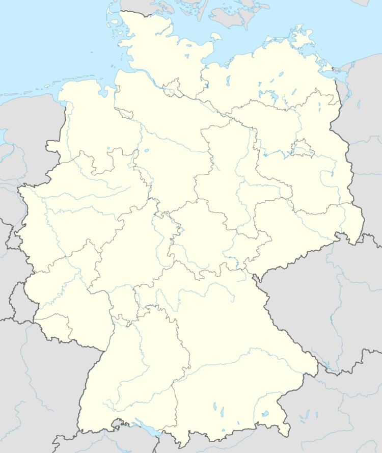
Map of Wollmerath, Germany
Location
The municipality lies in the Eifel roughly 6 km south of Ulmen.
History
In 1193, Wollmerath had its first documentary mention. With the occupation of the Rhine’s left bank by French Revolutionary troops in 1794, the Electorate of Trier, for centuries the local overlord, fell. In 1815 Wollmerath was assigned to the Kingdom of Prussia at the Congress of Vienna. Since 1946, it has been part of the then newly founded state of Rhineland-Palatinate.
Municipal council
The council is made up of 6 council members, who were elected by majority vote at the municipal election held on 7 June 2009, and the honorary mayor as chairman.
Mayor
Wollmerath’s mayor is Wolfgang Schmitz, and his deputies are Alfons Krämer and Reinhold Theusch.
Coat of arms
The municipality’s arms might be described thus: Azure issuant from base a wall flanked by towers domed argent, the wall charged with a cross Latin bottony reversed with a fifth button midway along the upper arm sable, in chief three annulets, two and one, between two ears of wheat palewise Or.
Buildings
The following are listed buildings or sites in Rhineland-Palatinate’s Directory of Cultural Monuments:
Saint Mary Magdalene’s Church also has a 250-year-old organ.