
Width 35 km (21.7 mi) Highest point Dombjerg | Length 71 km (44.1 mi) Highest elevation 1,444 m (4,738 ft) Elevation 1,444 m | |
 | ||
Adjacent bodies of water Lindeman FjordAlbrecht BayHochstetter BayGreenland SeaYoung Sound | ||
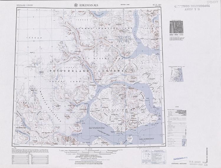
Wollaston Foreland (Danish: Wollaston Forland) is a peninsula in the NE Greenland National Park area, East Greenland.
Contents
History
This peninsula was named by William Scoresby in 1822 as a testimony of respect to William Hyde Wollaston. It was alo surveyed and explored by the Second German North Polar Expedition 1869–70 led by Carl Koldewey.
The Danish Sirius Dog Sled Patrol has its headquarters at Daneborg on the southeastern shore. The Zackenberg research station is situated further West, near Young Sound.
Geography
Wollaston Foreland is bounded in the north by the Lindeman Fjord and Albrecht Bay of Hochstetter Bay, in the east by the Greenland Sea, in the south by Young Sound and in the west by A. P. Olsen Land. To the south and southwest across Young Sound lies large Clavering Island, close off northeast Sabine Island, and close off north Kuhn Island. Cape Wynn is the peninsula's easternmost point.
Wollaston Foreland is mountainous. Its highest point is the massive-looking 1444 m high Dombjerg, located in the western section near the isthmus. Other important mountains are Zackenberg, Kuplen, Nålene, Cardiocerasbjerg, Aucellabjerg, Murbjerg, Hühnerbjerg, Clark Bjerg and Herschell Bjerg.