Postcode(s) 2850 Local time Wednesday 1:11 PM | Postal code 2850 Population 304 (2006 census) | |
 | ||
Weather 21°C, Wind E at 19 km/h, 54% Humidity LGA(s) | ||
Wollar community to boycott the public hearing circus
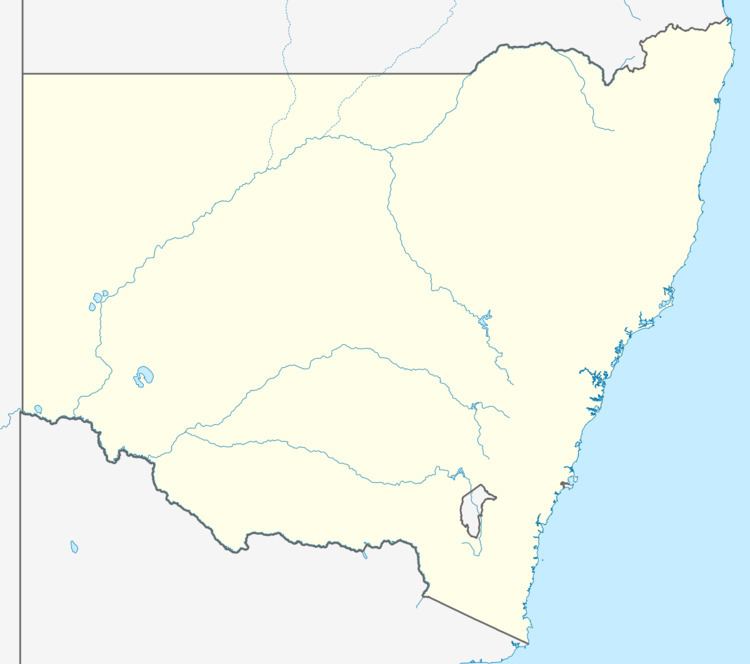
Wollar is a town in New South Wales, Australia. The town is located 316 kilometres (196 mi) north west of the state capital Sydney and 48 kilometres (30 mi) north east of the regional centre of Mudgee, near the Goulburn River National Park. At the 2006 census, Wollar and the surrounding region had a population of 304.
Contents
- Wollar community to boycott the public hearing circus
- Map of Wollar NSW 2850 Australia
- Bylong shunting wollar
- References
Map of Wollar NSW 2850, Australia
The Wollar townsite is subject to a mining exploration lease owned by United States mining company Peabody Energy, operators of the nearby Wilpinjong open-cut coal mine. Peabody own around 50 houses in the town with only a few town blocks remaining in private hands.
Bylong shunting wollar
References
Wollar Wikipedia(Text) CC BY-SA
